 Leigh Road
Sequence point 01
The walk home begins
Lisa said goodbye to her boyfriend at the garden gate and set out towards Bonnywell Road. Her agreed return time was 10:30pm.
 Case: UnrestedThe Unrested AtlasOpen casebook
 Interactive documentary atlas · Case 003
Follow the geography. Test every statement. See exactly where the public record ends.
01 / The final journey
Move through the known sequence. The map is schematic: it clarifies the public chronology without pretending to know the route’s missing moments.
Leigh RoadSequence point 01
Lisa said goodbye to her boyfriend at the garden gate and set out towards Bonnywell Road. Her agreed return time was 10:30pm.
02 / Evidence lens
Select a lens to separate official facts, attributed reporting and questions the surviving public record cannot answer.
Lisa was fourteen. She was found behind Rugby Road at approximately 11:55pm. Police retain an unmatched DNA sample, and nobody has been charged.
Accounts place Lisa near Buck Street at approximately 10:30pm. Earlier attacks in the area were examined as potentially connected, but no link was established.
Who approached Lisa? Was her murder connected to the earlier attacks? Whose DNA remains on the investigative record?
03 / Source ledger
The Atlas is a visual layer over the permanent Case: Unrested casebook. Open the original sources, inspect the record and see why each label was used.
Open the complete source ledger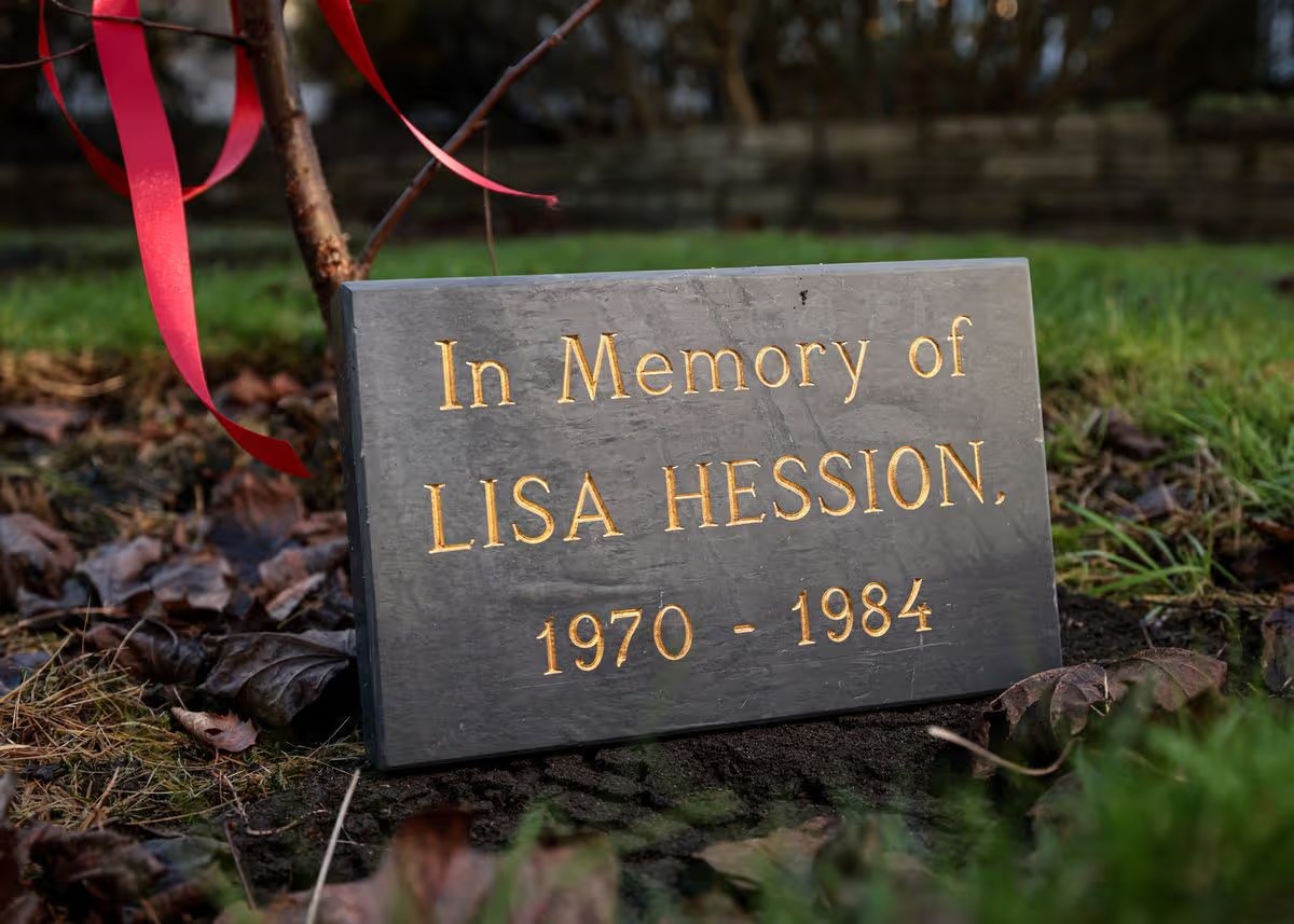
The investigation remains open
Greater Manchester Police asks anyone with information about the night of 8 December 1984—or information learned since—to contact the Cold Case Unit.
Do not investigate, confront or publish the names of suspected individuals online.